

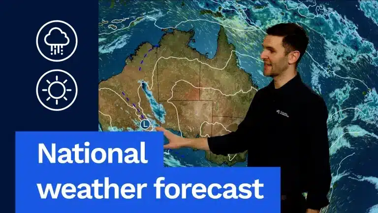
A significant low-pressure system is set to bring rain and storms to southeastern Western Australia, marking the primary weather feature across the nation. This system, currently situated in southeastern WA, has been responsible for showers, rain, and storms throughout much of southern Western Australia this week, with the far southeast expected to experience the brunt of the activity tomorrow.
National Weather Overview
Beyond the dominant low in Western Australia, the rest of the country is expected to experience generally dry and settled conditions. A weak cold front will briefly affect Tasmania and southern Victoria tomorrow, bringing a chance of showers. However, a large high-pressure system will keep most of the mainland clear.
Queensland
Queensland is forecast to enjoy mild to warm and sunny weather across most of the state. Isolated showers are possible along the exposed eastern coast, in typical areas prone to such activity. Temperatures are expected to range from the mid-to-high 20s in the south, reaching the low 30s in the north. These temperatures are slightly above the August average, reflecting the transition towards warmer September conditions.
Brisbane: Mostly sunny with a high of 25°C.
New South Wales and ACT
Residents in New South Wales and the Australian Capital Territory can anticipate morning fog and patchy frost in inland areas. The remainder of the day is predicted to be mild and sunny across the states.
Sydney: Sunny with a top of 20°C.
Canberra: Mostly sunny with a high of 17°C.
Victoria
Victoria will see morning fog and frost in the northern parts of the state. Southern Victoria is expected to be sunny, with cloud cover increasing throughout the day. Showers are anticipated to move in from the west later in the day.
Melbourne: A shower or two is possible, with a high of 17°C. Showers are most likely in the afternoon and early evening, potentially clearing before major evening events.
Tasmania
Tasmania will experience showers, primarily in the early morning as the cold front crosses the state. The western parts of Tasmania are more likely to see this activity, while the east is expected to remain mostly dry.
Hobart: A cloudy day with a high of 15°C. A shower or two may occur in the early morning, but the day is expected to be largely dry overall.
South Australia
South Australia is set for a dry day with mild and sunny conditions prevailing across the eastern half of the state. Some cloud and potential morning showers are forecast for areas around Mount Gambier. Further west, showers and isolated thunderstorms are expected.
Adelaide: Sunny with a high of 21°C.
Western Australia: Focus on the Storm System
The primary focus of the national weather forecast remains on Western Australia, particularly its southern and eastern regions. The southeastern part of the state is under the influence of a significant low-pressure system, which is expected to deliver rain and storms.
Far South-West WA: The very far southwest, including Perth, Bunbury, and Busselton, will experience dry and partly cloudy conditions. However, as one moves further east, the wet weather associated with the low-pressure system intensifies.
Wheatbelt, Goldfields, and South-East Coast: These areas, along with interior districts and the south-east coast, can expect rainfall amounts between 5 mm and 15 mm tomorrow. Thunderstorms are also a possibility, with the potential for locally higher rainfall totals.
Severe Weather Risk: There is a risk of damaging winds associated with severe thunderstorms in the far eastern parts of Western Australia. This same system has brought beneficial rain across much of southwest Western Australia this week, starting late Tuesday in the South West Capes and gradually spreading eastwards.
Perth: Mostly sunny with a top of 21°C.
Northern Australia
The northern parts of the country will continue to experience warm to hot and sunny conditions.
Darwin: Sunny with a high of 34°C.
Concluding Outlook
While most of Australia enjoys settled weather, the southeastern corner of Western Australia is the exception, facing a robust low-pressure system bringing the threat of rain and storms. Residents in affected areas are advised to stay informed about weather warnings, particularly concerning potential severe thunderstorms and damaging winds.